Warm, breezy summer ahead for Central Otago: MetService

Kim Bowden
18 November 2025, 5:00 PM
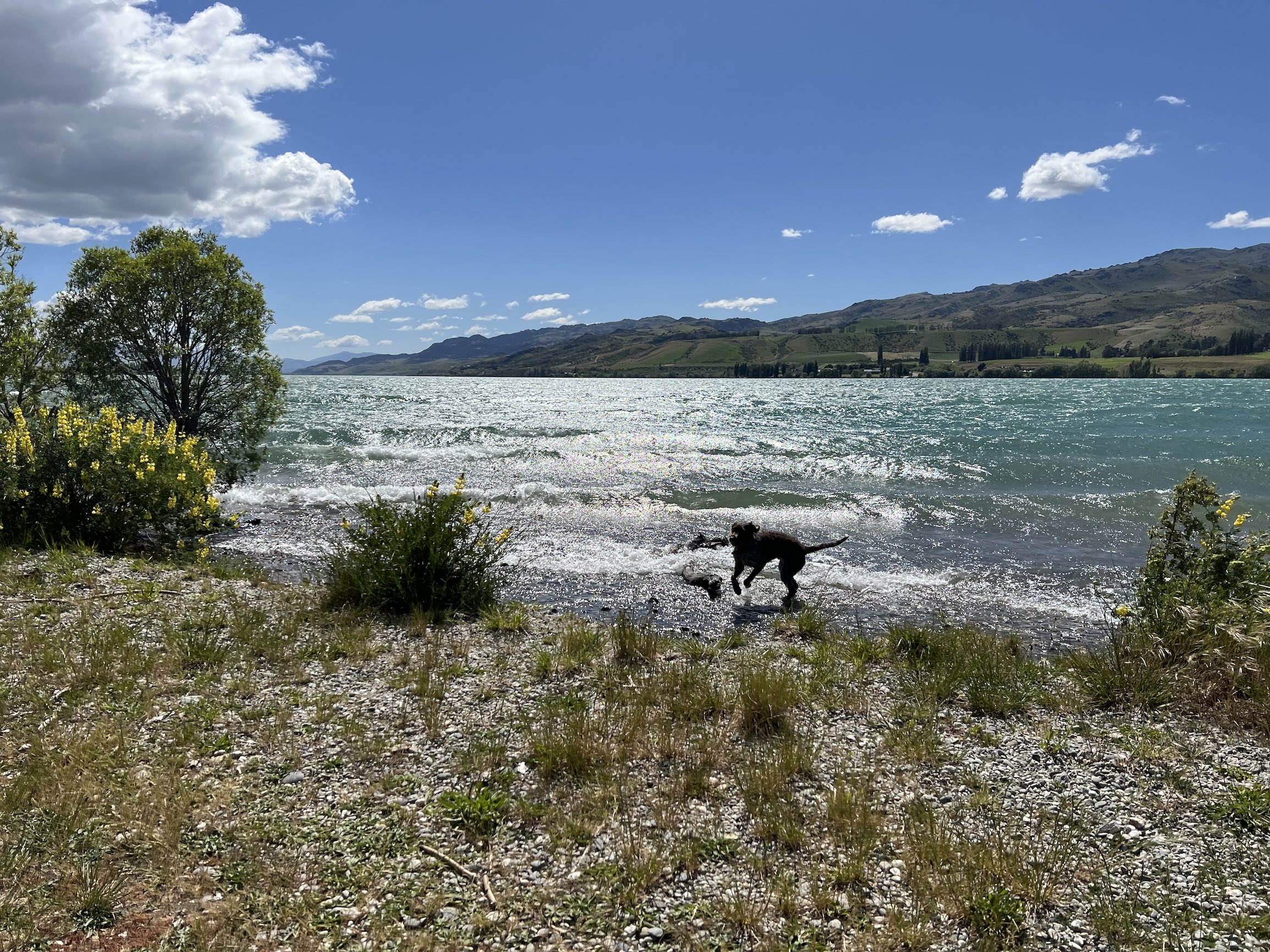 Lake Dunstan Image: The Central App
Central Otago can expect a warm, slightly cloudier-than-usual summer with more northeasterly winds and less rainfall overall, according to MetService meteorologist Lewis Ferris.
The outlook comes after national forecasters signalled a likely shift to La Niña conditions, prompting The Central App to ask what that means for life around the lakes and hills of Central Otago.
“For Central Otago you should expect more northeasterly winds than normal,” Lewis said.
“These will typically be accompanied by warm, humid air, potentially a bit more cloud than a typical summer.”
While the region is tipped to be drier than average, a few wet days could easily balance things out.
“Less than average rainfall is predicted for Central this summer, but it being such a dry place, it would just take a few wet days to skew that closer to normal,” he said.
The long-range outlook points to fewer southerly changes and less spillover rain from the West Coast.
“High pressure to our south means less cold fronts marching up the West Coast,” Lewis said.
“This means less spillover rain from the west but, on the flipside, less westerly winds means less of those extreme hot days with northwest winds.”
Lewis said summer temperatures were likely to sit on the warmer side of average, but not necessarily push into extremes.
“La Niña warm is less of a noticeable heat as it’s not represented so much in the extreme afternoon heat,” he said.
“It’s more, warmer minimums and afternoon temperatures on the warmer side of average without touching extreme too often.”
After a volatile spring that brought everything from snow to strong winds, Lewis said locals should expect a slower transition to settled summer weather.
“Spring is always a changeable season - people tend to forget that every year - but this spring was on the upper end of severity,” he said.
“I don’t think people should get their hopes up for summer to kick into gear on December 1st. It usually takes until Jan for consistent weather to become more common.”
Earth Science New Zealand’s latest three-month climate outlook reports an 80 per cent chance of La Niña conditions persisting through November to January.
Lewis cautioned a La Niña climate pattern is not the sole driver of day-to-day weather.
“La Niña isn’t a weather event, it’s a phase of a naturally occurring global climate cycle,” he said.
“It doesn’t cause weather, it just makes certain types of weather systems more likely.”
The big picture? The long range models are signalling more than average low pressure systems to New Zealand’s north-northwest, over the Tasman Sea, and more stubborn high pressure to its south.
Further north, people are likely facing a wetter sumer than normal, with plenty of humidity, particularly at night.
Have a story to share or comment to make? Contact editor@centralapp.nz
NEWS