Central’s summer: thunder, merinos and iPhone weather fiction

Kim Bowden
13 January 2026, 4:59 PM
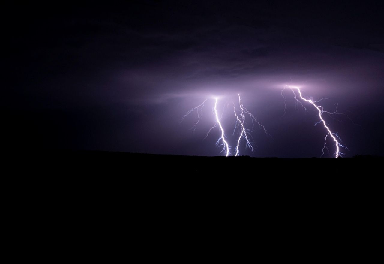 Central Otago escaped the worst of a North Island heatwave last weekend, instead experiencing cooler temperatures and an intense electrical storm that rattled homes. Image: Pixabay
While parts of the North Island sweltered through record-breaking heat late last week, Central Otago remained unseasonably cool, with temperatures struggling to climb out of the teens.
With some places enduring daytime highs in the mid 30s and overnight lows that did not drop below 20 degrees Celcius, locals and holidaymakers in Central Otago were likely reaching for warmer and waterproof layers instead of swimwear.
According to MetService, the heat elsewhere was driven by a westerly flow pulling hot air from the edge of an Australian heatwave, but that air mass did not extend far enough south.
Napier Airport recorded a high of 36.3 degrees Celsius over the weekend, while Kerikeri reached 32.7 degrees Celsius, breaking January records.
MetService meteorologist Ngaire Wotherspoon said the south was caught in a completely different weather pattern.
"It was very much a northern and central parts of Aotearoa heatwave," she said.
"The hot air from Australia just didn't quite make it down to you guys. You’re getting more of that regular westerly stuff from the middle latitudes...and some of that air is coming from further south, from around Antarctica."
The cooler temperatures were not the only weather related drama for the area.
While the north baked, Central Otago and Southern Lakes were hit by an intense electrical storm early Sunday morning.
MetService detected 2,277 lightning strikes across the area, most of them occurring between the early hours of the morning and 10am.
Residents in Lowburn and Cromwell reported houses rattling and thunder that seemed to roll on for several minutes at a time.
MetService meteorologist Mmathapelo Makgabutlane said there was "a good mix of very intense and less intense strikes" as a large front moved north.
"But the thunderstorms likely felt more intense due to the proximity and duration of the thunderstorms and also the frequency of the lightning and thunder," she said.
Adding to local frustration regarding the summer weather has been a noticeable difference between a popular smartphone weather app and conditions on the ground.
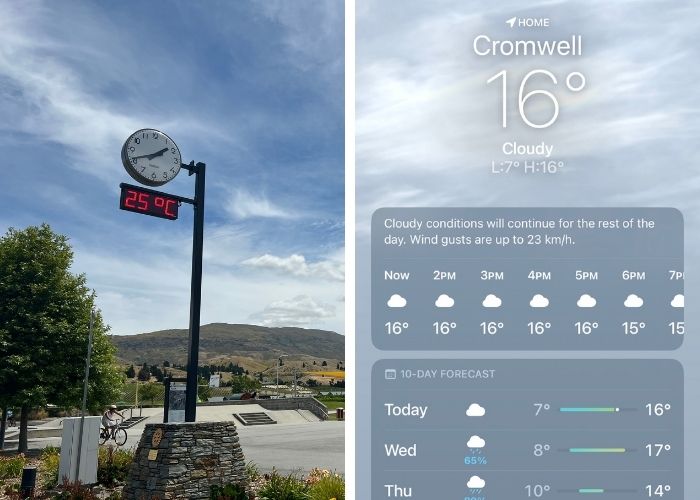
Same time, different picures of weather conditions in Cromwell on Tuesday. Images: The Central App and iPhone Weather app
On Tuesday, the Apple Weather app forecast a high of just 16 degrees Celsius for Cromwell, while the temperature gauge at the Big Fruit Reserve reached 25 degrees Celsius in the early afternoon.
Kiwi Water Park owner Emily Rutherford said she no longer relies on phone apps for Central Otago forecasts.
Her advice to visitors: "Don’t look at the iPhone app for weather in Central; it is incorrect 100% of the time. Check MetService instead."
For those hoping summer still has more to offer, there may be some good news ahead.
While Ngairie couldn't promise a heatwave, she said Central Otago often experiences its most settled and hottest weather later in the season.
"As much as we haven't had those longer spells of fine weather yet, it doesn't mean it's not going to happen," she said.
Have a story to share or comment to make? Contact editor@centralapp.nz
NEWS

NOTICEBOARD